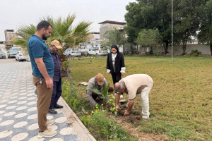
There is an increasing need to conduct an assessment of sand encroachment on agricultural lands and the risk that it has in reducing arable areas and thus reducing the local agricultural product .Therefore, remote sensing techniques and geographic information systems have been used to study the extent of agricultural land exposure in Basra Governorate, depending on the general equation for wind erosion using satellite image and matching them with field work and then converting them into maps showing the amount of exposure The lands are due to desertification due to sand encroachment, and the affected lands have reached 61.9% of the total studied lands,Which indicates the growing phenomenon of desertification in the region, which calls for the concerned authorities to increase green areas to reduce erosion or to develop programs to stabilize the crawling sand.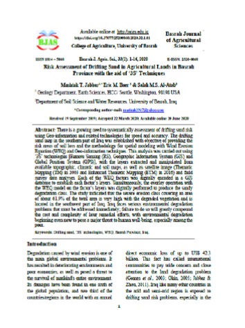
Important News
viewed most